History/Map of Underwood Hills
|
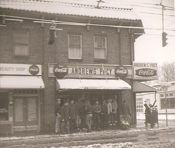
The Underwood Hills area was conceived as a neighborhood as early as 1902 (when it was dubbed “Northside Park”), but construction in this area — on the edge of the Atlanta city limits — didn’t pick up steam until the 1920s. Many residents of that era were employed by the nearby Seaboard Coastline Railroad, and their brick and frame cottages and bungalows reflected modest lifestyles.
Building in the neighborhood continued through the post-World War II boom. Construction of I-75 removed some houses and turned the area into a residential island surrounded by the highway and major commercial corridors. In the 1970s and 1980s, residents fought numerous rezoning battles to contain an explosion of high-density projects along Defoor Avenue and Collier Road. The 1990s brought a resurgence of new single-family homes as buyers sought close-in property. That trend of intown living continues today, as we see more and more people discovering the charm of Underwood Hills. |
According to Section 2 of the Underwood Hills Neighborhood Association Bylaws (amended and approved March 9, 2015):
The Underwood Hills neighborhood is defined as that geographical area in the City of Atlanta bounded to the south and west by Chattahoochee Avenue and the CSX Rail Yard to the west of Old Chattahoochee Avenue; to the north by the Hills Avenue Industrial Park (bordered along its northeastern edge by the Defoor Place residential development) and bounded further eastward on the north by sections of Bohler Road and Collier Road to the I-75 overpass; then I-75 on the northeast and Howell Mill Road on the east as it runs southward to meet Chattahoochee Avenue. |

